AutoCoast
Automatic detection of coastline change and causal linkage with natural and human drivers
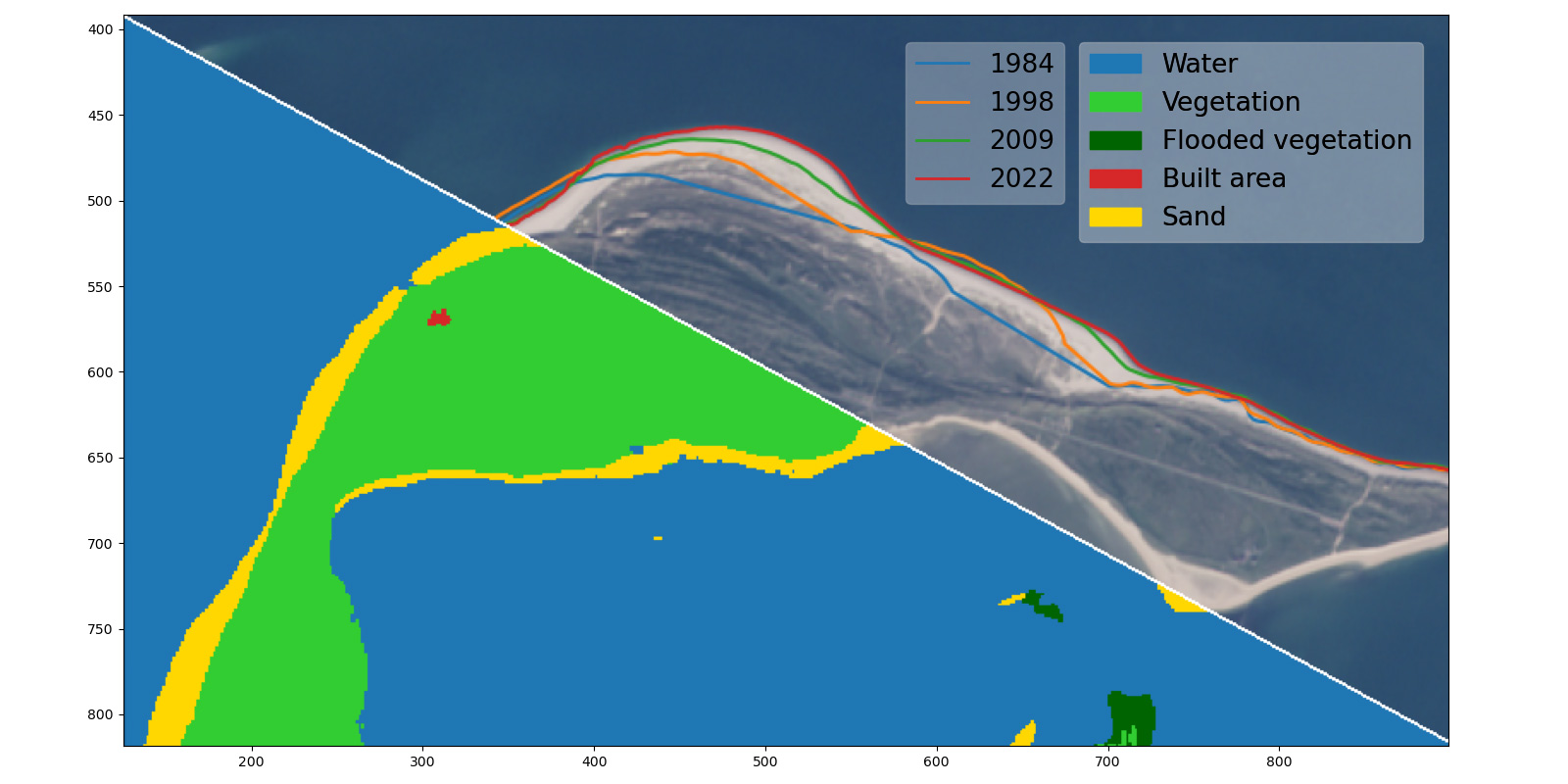
Half of Europe’s coastal wetlands is expected to disappear as a result of sea level rise by 2100, and public expenditure dedicated to coastline protection against the risk of erosion and flooding averaged €5.4 billion per year between 1990 and 2020. A profound understanding of the coastline change requires an understanding of the controlling factors for formation of the various coastal types (sandy beach, cliff, marshland) and their interaction with engineering structures.
From coastal management and spatial planning perspectives, there is an urgent need to understand coastline evolution at timescales from events (e.g. storms) to multidecades,and spatial scales from 0.1 to 100 km. AutoCoast aims to provide advanced and reliable remote sensing-based AI tools to quantify coastline change rate at high-resolution and unravel the linkage between coastline change rate and natural and anthropogenic drivers at regional to global scale.
Other projects
AsoftXm
Advanced Soft-X-Ray Microscopy Solutions
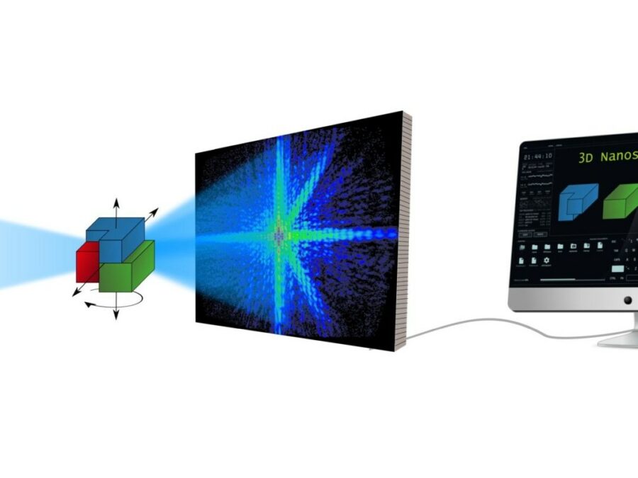
The project aims to develop a method that will speed up the analysis of diffraction patterns that arise in UV and soft X-ray light microscopy, so that the structure of the studied sample can be calculated more efficiently. The method could make the three-dimensional study of nanomaterials considerably easier. There are times when researchers need […]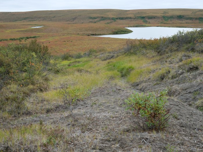
HIT Permafrost
The Hidden Image of Thawing Permafrost
The project aims to develop a method for determining just how extensively thaw processes have already progressed in permafrost regions. The machine learning approach to be developed will be used to analyse radar images from aircraft in order to learn more about the properties of the subsurface permafrost.
TerraByte-DNN2Sim
On the trail of the mystery of the laws of calving
Researchers still face a mystery when it comes to the laws by which glaciers calve. This project aims to use satellite imagery, artificial intelligence, mathematical optimisation and a new data processing pipeline to track the movements of glacier fronts in Antarctica to get closer to solving the mystery.