EarthWatch

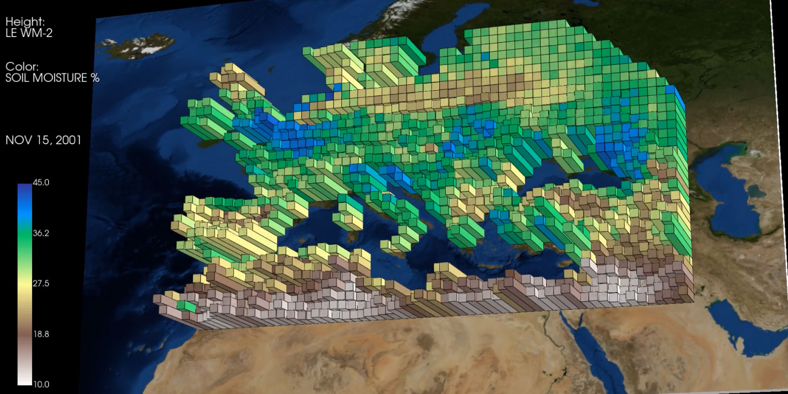
Image: Snapshots taken from videos created by the tool - original data by Almudena Garcia-Garcia and Jian Peng of Umweltforschungszentrum (UFZ) | info
Earth-Watch introduces a Python package that visualizes spatiotemporal netCDF data on world maps by generating dynamic videos with PyVista. Designed to enhance the understanding and presentation of geospatial datasets over time, the tool allows users to overlay multiple observations, enabling comparative analyses and revealing correlations between different datasets. Additionally, it facilitates effective communication and presentations. By automating the rendering process, the package streamlines the creation of high-quality animations from complex netCDF files, making it a valuable resource for researchers and educators working with global data.