BENIGN
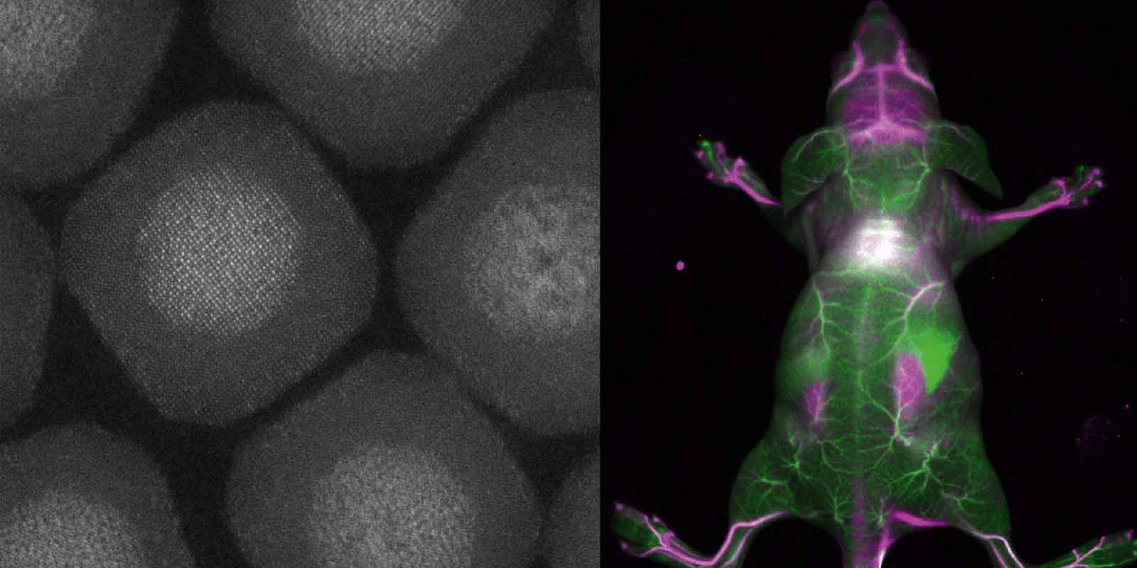
Biocompatible and Efficient Nanocrystals for Shortwave Infrared Imaging

In the shortwave infrared (SWIR) range (1000–2000nm) scattering is suppressed and autofluorescence is almost absent compared to visible and near-infrared spectral range. This enables imaging with enhanced penetration depth and increased sensitivity. In particular, the optical region between 1500-2000nm is most promising from the optical point of view. But so far exploration of these wavelength windows has been limited by lack of fluorescent contrast agents emitting in and imaging setups being able to detect in this region.
To unlock the potential of these windows bright and targeted imaging agents are required and sensitivity of SWIR imaging setups needs to be extended further red. The BENIGN project will target this challenge by developing a new optical imaging method using efficient lanthanide-based heterogeneous core-shell structures with emission between 1500-2000nm. BENIGN aims to enable non-invasive molecular imaging with cellular resolution in vivo at depths of several millimeters.
Other projects
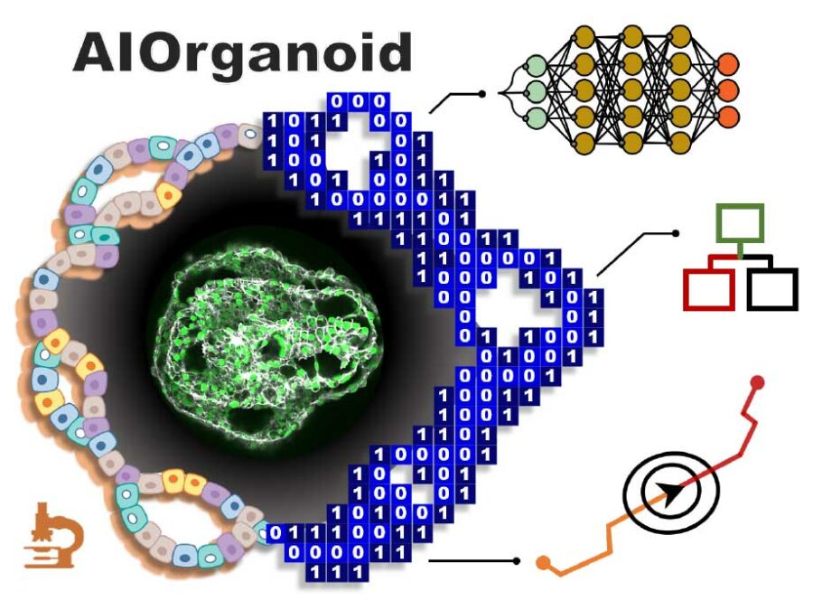
AIOrganoid
Artificial Intelligence Assisted-Imaging for Creating High-yield, High-fidelity Human Lung Organoid
AIOrganoid will apply cutting-edge imaging techniques and develop novel AI-based solutions to facilitate human lung organoid formation with high yield and fidelity, bridging the gap between cell biology and computational imaging.SmartPhase
Fast, intelligent 3-D X-ray images for material examination
In order to be able to improve materials, it helps to take a look at their microstructures. This is because valuable information about their properties and behaviour can be found there – for example information about when which ageing processes begin. The aim of this project is to automate and accelerate access to this information with the help of a smart imaging technique.MultiSaT4SLOWS
Multi-Satellite imaging for Space-based Landslide Occurrence and Warning Service
In order to detect impending landslides before they occur and to enable reliable emergency mapping after a landslide, the researchers are combining optical data with radar data from satellites. Using machine learning methods, computers will be trained to recognise the tiniest of changes in things like sloping landscape surfaces.

